
India's Coastline and the Ports that Trade Built
Reference library · 1081 words
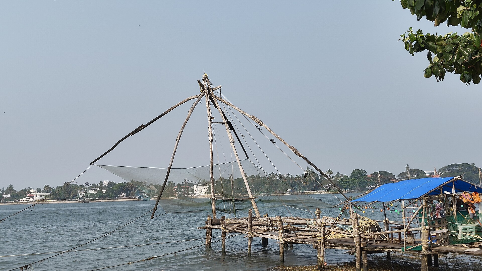

India has roughly seven and a half thousand kilometres of coastline once its island territories are counted, touching nine states and several union territories, and it sits directly across the sea lanes that carry oil from the Gulf to East Asia. Around ninety five per cent of the country's foreign trade by volume moves by sea. Yet India is not usually thought of as a maritime country, and for a long period it was not one in practice. The coastline's history is a sequence of ports rising, silting up and being abandoned, of trade shifting between the two coasts, and of an interior that repeatedly turned its back on the sea.
The geography imposes the pattern. The west coast, from Kutch down through Konkan and Malabar, is narrow, backed closely by the Western Ghats, and cut by drowned river valleys and lagoons that offer natural shelter but not much flat land. The east coast is a broader, straighter plain built up by the sediment of the Mahanadi, Godavari, Krishna and Kaveri, which means good farmland and deltaic wealth but few natural deep harbours and a shoreline exposed to cyclones spinning up from the Bay of Bengal. The monsoon governs everything: the southwest monsoon closes small harbours for months and, once its reversal was understood, made round trips between the Red Sea and the Malabar coast predictable within a single year.
Ports that rose and vanished
The earliest candidate is Lothal in Gujarat, a Harappan site of the third millennium before the common era with a large baked brick basin that the excavator interpreted as a tidal dock. Some archaeologists dispute this and read it as a reservoir. Either way, Harappan seals found in Mesopotamia establish that the trade existed. In the classical period, a Greek mariner's handbook known as the Periplus of the Erythraean Sea, written in the first century, lists Indian ports and cargoes with commercial precision: pepper and malabathrum from the Malabar coast, pearls from the Gulf of Mannar, cotton from Gujarat, in exchange for wine, coral and a great deal of Roman coin. Muziris on the Kerala coast, mentioned repeatedly in Tamil Sangam poetry and in Roman sources, was one of the busiest of these, and its precise location was uncertain until excavations at Pattanam near Kodungallur produced Mediterranean amphorae and Roman glass. Arikamedu near Puducherry has yielded Roman pottery of the same period. The Chola dynasty of the Tamil country later launched naval expeditions across the Bay of Bengal, and Indian merchant guilds operated as far as Sumatra.
Silt destroyed several of these. Khambhat, the Cambay of European accounts, was Gujarat's great medieval port and became unusable for large ships as its gulf shoaled. Surat replaced it as the Mughal empire's principal western port and the point of departure for pilgrims to Mecca, only to be displaced in turn by Bombay. The colonial ports were founded not on the best harbours but on defensible positions: the English at Fort St George in Madras from 1639, at Bombay after the islands passed to the English crown in 1661 as part of a Portuguese royal dowry, and at Calcutta on the Hooghly from the 1690s. The Portuguese had taken Goa in 1510 and held it until 1961. These three colonial ports drew railways inland behind them, and that railway geometry still determines which parts of India ship through which port.
The modern system
Indian ports are divided into two legal categories, and the distinction explains a great deal. Twelve are designated major ports, administered under central government legislation, now the Major Port Authorities Act of 2021 which replaced the trust structure that had governed them since 1963 and gave the port authorities more commercial autonomy over tariffs and land. They are, on the west coast, Deendayal at Kandla, Mumbai, Jawaharlal Nehru at Nhava Sheva, Mormugao, New Mangalore and Cochin; on the east coast, V. O. Chidambaranar at Thoothukudi, Chennai, Kamarajar at Ennore, Visakhapatnam, Paradip and Syama Prasad Mookerjee at Kolkata. All other ports are non major and fall under state governments, and it is here that the most important commercial growth has occurred, because state frameworks made private development easier. Mundra in Gujarat, developed by a private group from the 1990s, grew into the country's largest port by cargo handled, and Gujarat's non major ports together handle a very large share of national throughput.
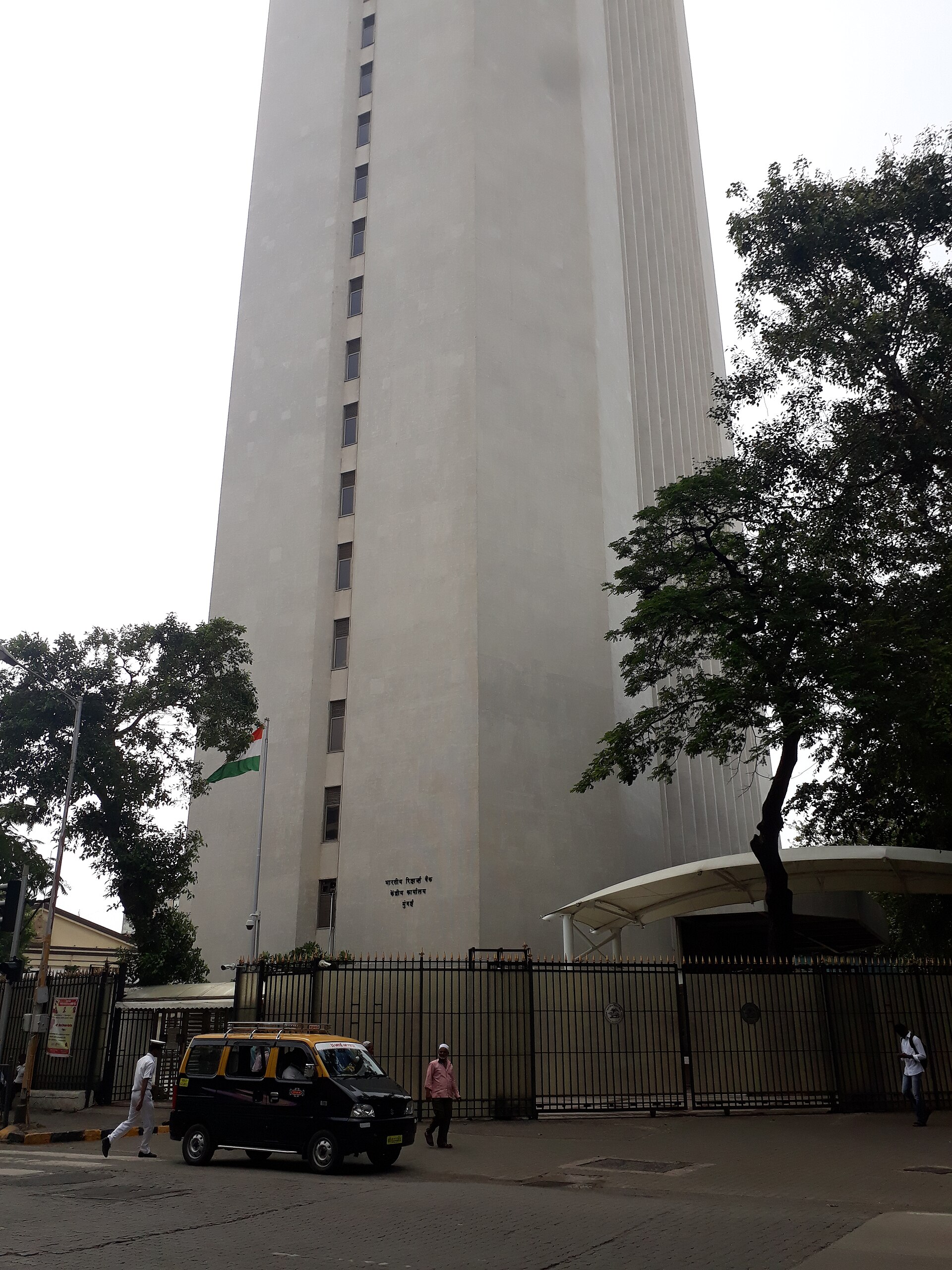
Jawaharlal Nehru Port, opened in 1989 across the harbour from Mumbai, was built to relieve the congested and shallow older docks and became India's leading container port. Kolkata illustrates the opposite problem: it is a riverine port more than a hundred kilometres upstream, permanently fighting siltation of the Hooghly, which is why a downstream dock complex was built at Haldia. Ennore, commissioned in the 1990s, was the first Indian major port set up as a company rather than a trust, a template later applied more broadly.
The persistent strategic complaint has been transhipment. Because India lacked a deepwater port able to handle the largest container vessels, a substantial share of Indian containers were carried on smaller feeder ships to Colombo, Singapore or Jebel Ali and transferred there, adding cost and time and exporting the value of the handling. Two projects address this. Vizhinjam in Kerala, close to the main east to west shipping lane and blessed with natural depth near shore, began commercial operations in 2024 and was formally inaugurated in 2025. A second large port at Vadhavan in Maharashtra was approved by the central government in 2024. Both have faced opposition from fishing communities concerned about erosion and lost fishing grounds, and the Vizhinjam project saw sustained protests led by the local fishing community and church leaders.
Two other themes matter. The first is coastal shipping, which remains a small share of Indian domestic freight compared with road and rail, despite being cheaper and less polluting for bulk cargo over long distances; the Sagarmala programme launched in 2015 aims partly at correcting this, through port connectivity and inland waterway links. The second is security. The 2008 Mumbai attacks, carried out by men who came ashore by boat, exposed how thinly the coast was watched, and prompted a coastal security scheme involving the Indian Coast Guard, marine police stations, radar chains and registration of fishing vessels. The same coastline that made trade possible has never been easy to police, and the maritime boundary in the Palk Strait, where Indian and Sri Lankan fishing fleets overlap, remains a recurring source of arrests and diplomatic friction.
References
- Ministry of Ports, Shipping and Waterways, Government of IndiaMinistry of Ports, Shipping and Waterways
- Encyclopaedia BritannicaIndia: Drainage and coasts
- Archaeological Survey of IndiaLothal
- Indian Coast GuardCoastal Security
- UNCTADReview of Maritime Transport
This is a reference article, written from the sources above. It is background, not news reporting.