
Ports and Logistics: India's Trade Backbone
Reference library · 1100 words
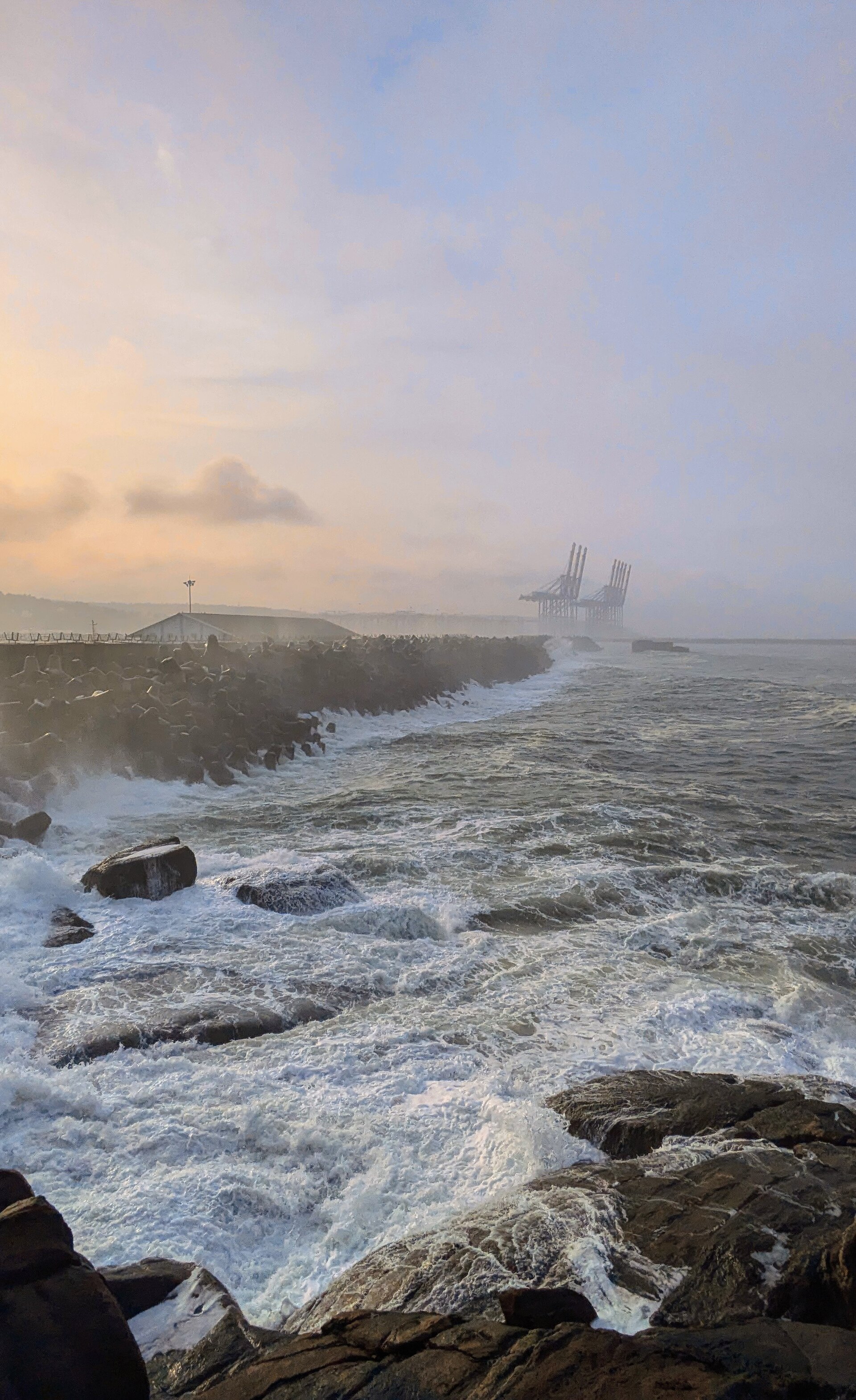

India has a coastline of roughly seven and a half thousand kilometres, and the overwhelming majority of its foreign trade by volume moves across it by sea. The system that handles that traffic is split in an unusual way. Twelve ports are designated major ports and fall under the central government: Deendayal at Kandla in Gujarat, Mumbai and Jawaharlal Nehru Port in Maharashtra, Mormugao in Goa, New Mangalore and Cochin on the south western coast, Chennai, Kamarajar at Ennore and V. O. Chidambaranar at Tuticorin in Tamil Nadu, Visakhapatnam in Andhra Pradesh, Paradip in Odisha and the Kolkata port in West Bengal. Around two hundred smaller ports are administered by coastal state governments, and it is among these that the most significant commercial development of the past three decades has occurred, because state jurisdiction allowed private operators to build terminals with far less procedural friction.
The clearest illustration is Mundra in Gujarat, developed from the 1990s on the Kutch coast by the Adani group. Starting as a captive facility for a single industrial customer, it grew into India's largest container handling port by volume, overtaking the state owned Jawaharlal Nehru Port at Nhava Sheva near Mumbai, which had itself been built in the 1980s to relieve the congested colonial docks of Mumbai harbour. Gujarat's early adoption of a state port policy that welcomed private capital is the reason a disproportionate share of India's cargo now moves through that one state. In 2021 Parliament replaced the Major Port Trusts Act of 1963 with the Major Port Authorities Act, converting the central ports from trusts into authorities with boards that can set their own tariffs and enter into contracts more freely, an attempt to let the public ports compete on the same terms.
The transshipment problem
A structural weakness has been depth. Very large container ships need water deep enough to berth fully laden, and for years most Indian ports could not offer it, so a large share of Indian containers were carried by small feeder vessels to a hub outside the country, transferred to a mainline ship there and carried on. Colombo in Sri Lanka, Singapore, Port Klang in Malaysia and Jebel Ali in Dubai all built substantial businesses on Indian cargo, and the arrangement added cost and several days of transit to Indian exports while exporting the value of the handling. The most direct response is the deep water port at Vizhinjam in Kerala, close to the main east to west shipping lane and with natural depth requiring little dredging, which received its first container vessel in 2024 and was formally commissioned the following year. Whether it will pull enough volume away from Colombo to change the pattern is a live commercial question rather than a settled fact.
Ports are only useful if cargo can leave them. India's inland freight is dominated by road, which carries roughly two thirds of tonne kilometres, with rail taking most of the rest and coastal shipping and inland waterways carrying very little. That balance is expensive, because road haulage costs more per tonne kilometre than rail over long distances and produces far more carbon. It arose partly because Indian Railways, for decades, priced freight high in order to subsidise passenger fares kept politically low, driving industrial customers onto the highways, and partly because the rail network's mixed traffic meant slow, unreliable freight paths behind priority passenger trains.
The main structural answer has been the Dedicated Freight Corridors: two purpose built freight only rail lines, one running west from the Delhi region to the Jawaharlal Nehru Port area and one running east from Punjab through the Gangetic plain towards the coal fields of eastern India. They are engineered for heavier axle loads, longer trains and, on the western corridor, double stacked containers, and by removing freight from the mixed traffic lines they raise capacity on both. Completion has been slow, with land acquisition the principal obstacle, but the operating sections have already produced large gains in average freight speed.
Cost, coordination and corridors
Indian policy discussion has for years repeated a figure holding that logistics costs consume something in the region of thirteen to fourteen per cent of national output, against roughly eight per cent in advanced economies. That number is widely quoted and poorly sourced, and a study commissioned by the government and conducted by the National Council of Applied Economic Research put the figure considerably lower, in the range of eight to nine per cent. The disagreement matters because the higher figure has been used to justify a great deal of expenditure. What is not disputed is that the friction is real and mostly institutional: cargo passes through customs, port authorities, railways, highway authorities, state transport departments and warehousing regulators, none of which historically shared data or planning.
Two recent initiatives target that fragmentation directly. The PM Gati Shakti National Master Plan, launched in 2021, is a shared geographic information platform on which the infrastructure ministries and the states map their existing and planned assets, so that a road, a pipeline, a rail line and a port expansion can be sequenced rather than dug up in succession. The National Logistics Policy of 2022 sits alongside it, aiming at a unified digital documentation system, standardised warehousing and a coordinating institutional structure. The Sagarmala programme, running since 2015, funds port modernisation, connectivity roads and rail, and industrial development around ports. Separately, the Jal Marg Vikas project has been developing the Ganga between Haldia and Varanasi as a national waterway with multimodal terminals, an old idea whose economics depend on maintaining navigable depth in a river with sharply seasonal flow.
Trade geography is also being reshaped deliberately. India operates a terminal at Chabahar in Iran, intended to open a route to Afghanistan and Central Asia that bypasses Pakistan, under a long term agreement signed in 2024, though the project has always been hostage to sanctions policy. At the G20 summit in New Delhi in September 2023, India, several Gulf states, the European Union and the United States announced an India to Middle East to Europe economic corridor combining shipping and rail, a proposal whose feasibility depends on regional politics that have not since been cooperative. The fragility of long routes was demonstrated during 2024, when attacks on shipping in the Red Sea forced vessels around the Cape of Good Hope, adding roughly two weeks to voyages between India and Europe and sharply raising freight and insurance rates for Indian exporters. For a trading economy with a long coast, the ports are the easy part; the difficulty has always been the few hundred kilometres immediately behind them.
References
- Ministry of Ports, Shipping and Waterways, Government of IndiaMajor Ports of India
- Dedicated Freight Corridor Corporation of IndiaWestern and Eastern Dedicated Freight Corridors
- Department for Promotion of Industry and Internal TradeNational Logistics Policy
- PM Gati Shakti, Government of IndiaPM Gati Shakti National Master Plan
- Sagarmala, Government of IndiaSagarmala Programme
This is a reference article, written from the sources above. It is background, not news reporting.