
The Thar Desert and Life at the Margins
Reference library · 1073 words
,_Jaisalmer,_Jodhpur,_Rajasthan,_India_(2012).jpg)
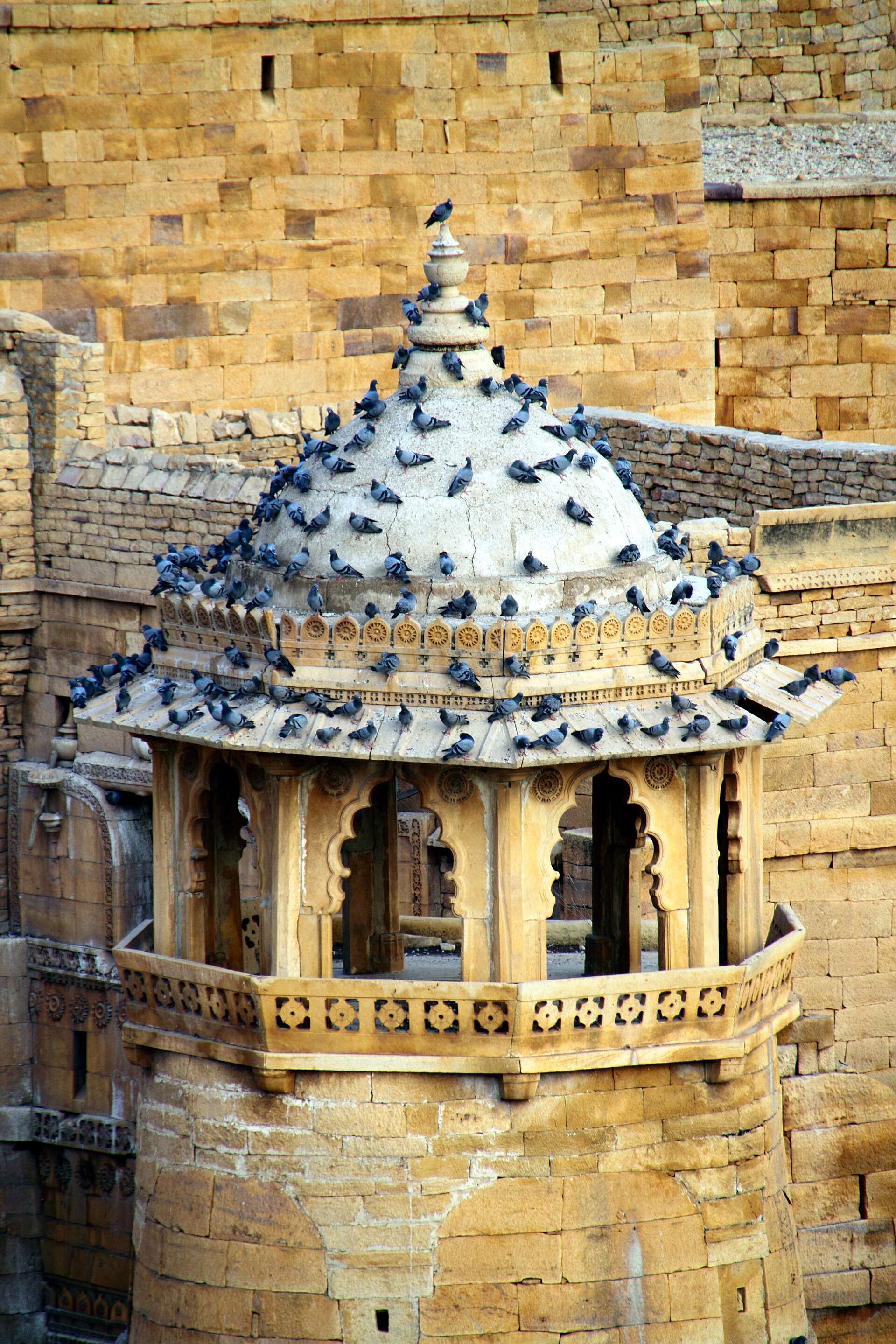
The Thar, also called the Great Indian Desert, covers roughly two hundred thousand square kilometres across western Rajasthan, with extensions into Gujarat, Haryana and Punjab and a continuation across the international border into Pakistan's Cholistan and eastern Sindh. Its most remarkable feature is not its dunes but its people. The Thar is generally described as the most densely populated desert in the world, with a population density many times that of the Sahara or the Australian interior. Almost nothing about the region makes sense unless that is kept in view: this is a dry land that has been continuously inhabited, farmed and grazed rather than crossed.
Why it is dry
The Thar sits at the western edge of the monsoon system. Rainfall ranges from around a hundred millimetres a year near the Pakistan border to four or five hundred millimetres on its eastern margin, and the variation from year to year is greater than the average itself, which is the defining agricultural fact. A run of adequate years can be followed by consecutive failures.
The reasons for the aridity are debated in detail but the broad picture is clear. The moisture bearing south west monsoon arriving over the Arabian Sea runs roughly parallel to the Aravalli range rather than being forced up over it, so the hills, among the oldest fold mountains on earth, do not trigger the orographic rainfall that the Western Ghats produce further south. Descending air associated with the subtropical high adds to the suppression. There is also a long argument about whether the region was significantly wetter in the past. Dry palaeochannels of the Ghaggar-Hakra river system run through the desert, and major Indus civilisation sites including Kalibangan in Rajasthan and Dholavira on the edge of the Rann of Kutch lie in or near country that could not support such settlement today. Whether the change was driven by climate, by river capture and tectonic diversion of the Sutlej and Yamuna, or by both, is not fully resolved, and the identification of the palaeochannel with the Saraswati river of the Rig Veda carries political freight that makes calm discussion harder.
The physical landscape is not uniform sand. Longitudinal and crescent shaped barchan dunes occur, but so do gravel plains, rocky outcrops and saline depressions. Sambhar Lake, east of the desert proper, is India's largest inland salt lake and has been worked for salt for centuries; Didwana and Pachpadra are smaller salt basins. Groundwater is often brackish and lies deep.
Living with unreliability
The traditional economy managed risk by not depending on a single source. Rain fed millets, principally pearl millet, along with moth bean, cluster bean and sesame, were sown on the chance of rain. Livestock, cattle, sheep, goats and above all camels, converted sparse vegetation into transportable value and could be moved when a locality failed. Long distance trade along the caravan routes through Jaisalmer and Barmer supplied a further income stream, and the merchant havelis of those towns were built on it.
Water technology was correspondingly sophisticated. The tanka is a covered underground cistern fed by a swept catchment that stores roof or courtyard runoff for household use through the dry season. The khadin is a field enclosed by an earthen bund at the foot of a rocky slope, which captures runoff and the silt it carries so that a crop can be grown on stored soil moisture without irrigation. Nadis are village ponds sited to catch sheet flow. Stepwells, baoris, cut down to the water table and provided cool access; the multi-storeyed stepwell at Abhaneri is the best known example on the desert's eastern edge. These systems are neither quaint nor obsolete, and several state and non-governmental programmes have set about repairing them.
The desert's ecology has been protected less by law than by belief. The khejri tree, Prosopis cineraria, is central: it fixes nitrogen, its pods are eaten, its leaves are fodder and it casts light shade that crops tolerate, and it is the state tree of Rajasthan. The Bishnoi community, founded in the fifteenth century on a code of twenty nine principles including prohibitions on felling green trees and killing animals, has protected khejri groves and the blackbuck and chinkara that shelter in them. In 1730, according to the tradition recorded in Bishnoi accounts, hundreds of villagers at Khejarli near Jodhpur were killed while embracing trees to prevent their felling for a royal lime kiln, an episode led by a woman named Amrita Devi and commemorated at the site.
Canals, turbines and the argument about change
The largest intervention of the modern era is the Indira Gandhi Canal, formerly the Rajasthan Canal, begun in 1958 and drawing water from the Harike barrage where the Beas meets the Sutlej in Punjab. Its main canal and branches extend for several hundred kilometres into Sriganganagar, Hanumangarh, Bikaner and Jaisalmer districts. It converted large tracts to irrigated wheat, cotton and mustard and made permanent settlement possible where it had not been. It also brought waterlogging and secondary salinisation in poorly drained stretches, a rise in mosquito borne disease, and disputes over allocation between Punjab and Rajasthan.
The other transformation is energy. The high solar irradiance and low land value that made the Thar economically marginal make it ideal for renewable generation. The Bhadla Solar Park in Jodhpur district is among the largest solar installations in the world, with capacity in the region of two thousand megawatts, and wind farms cluster around Jaisalmer. Barmer district produces crude oil from the Mangala field discovered in 2004. Pokhran, in the same desert, was the site of India's nuclear tests in 1974 and 1998.
These changes have costs. The Great Indian Bustard, the godawan, once widespread across Indian grasslands, is now critically endangered with a wild population widely reported at fewer than about one hundred and fifty birds, most of them in and around the Desert National Park near Jaisalmer. Collision with overhead power lines serving the renewable projects is a principal cause of adult mortality. In 2021 the Supreme Court ordered transmission lines in priority bustard habitat to be laid underground; the order was modified in 2024 after the power sector argued that undergrounding high voltage lines at that scale was not feasible, and the court directed an expert committee to work out the balance. Whether the desert itself is expanding or greening is likewise contested, with some satellite analyses reporting increased vegetation and rainfall over recent decades rather than advancing sand.
References
- Encyclopaedia BritannicaThar Desert
- Wildlife Institute of IndiaGreat Indian Bustard conservation
- Government of RajasthanIndira Gandhi Nahar Pariyojana
- UNESCO World Heritage CentreHill Forts of Rajasthan
- Archaeological Survey of IndiaExcavated sites: Kalibangan
This is a reference article, written from the sources above. It is background, not news reporting.